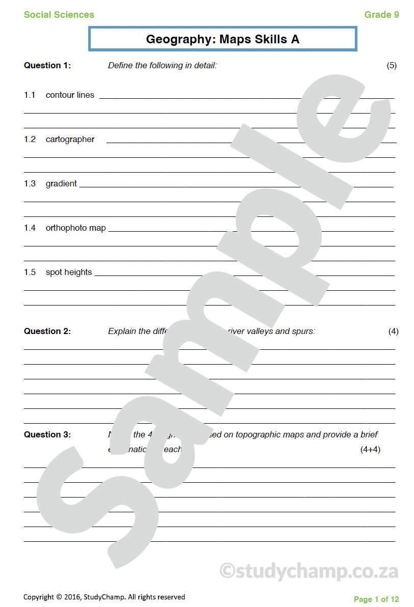
Grade 9 Geography Test: Map Skills 1
R65.00
In stock
Product Details
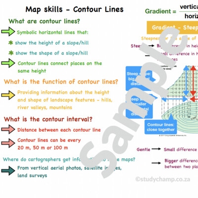
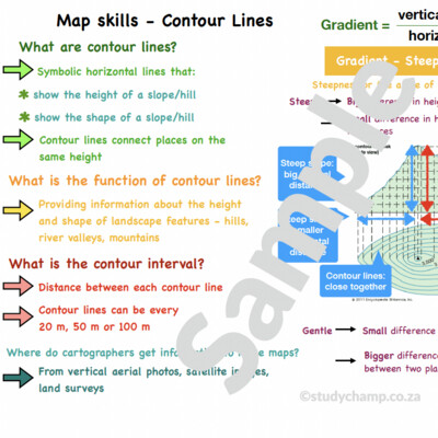
This test includes: Contour lines, topographical maps, map scales, conversion between different types of scales, calculating distances on maps, orthophotos, recognising landforms, completing contour lines, interpreting map symbols, practical application on a topographical map and contour map.
(7 pages with questions, memo at the end)
Save this product for later
Grade 9 Geography Test: Map Skills 1
You May Also Like
Display prices in:
ZAR


